




Real-Time Roadway Analysis
Enable near-real-time detection, analysis, and classification of roadway surface anomalies using advanced sensing and AI technologies.

PAVEment SCANning with EGNSS Technology for Accurate Assessment
PAVE-SCAN is a Horizon Europe project that aims to revolutionise pavement condition assessment through the use of advanced sensors, cameras, artificial intelligence, and EGNSS technologies. The project develops a cost-effective and automated solution for detecting, classifying, and georeferencing pavement anomalies, enabling real-time monitoring of road infrastructure conditions. By improving the accuracy and efficiency of pavement inspections, PAVE-SCAN supports more informed maintenance decisions, enhances road safety, and contributes to the digital transformation of transport infrastructure management.


NPT, member of CPT Group, leads the pilot implementation and validation of the PAVE-SCAN technologies across the project's Living Labs in Cyprus, Malta, Spain, Italy, and Estonia. We coordinate pilot activities, data collection, system validation, and knowledge transfer among consortium partners and road network managers.
Through the Nicosia pilot, we demonstrate an innovative road assessment solution that combines sensors, cameras, artificial intelligence, and EGNSS technologies to automate the monitoring of road infrastructure conditions. By validating the technology in a real operational environment, we help advance safer, more efficient, and data-driven infrastructure management practices.
Events
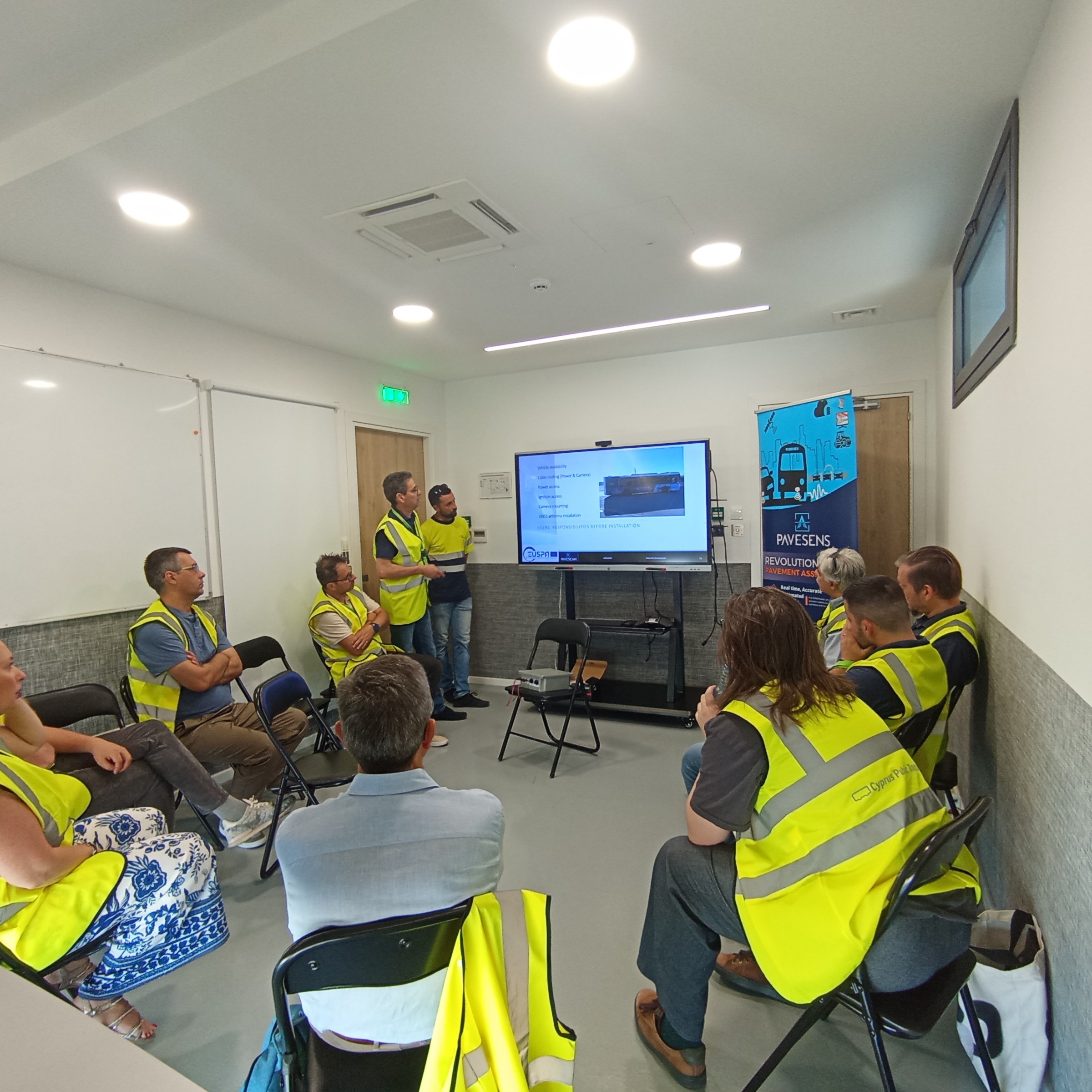
Through training sessions and live demonstrations at NPT, project partners strengthened their readiness for upcoming deployments in multiple European pilot sites.

Events
The PAVE-SCAN bus brought roadway monitoring technologies to EU Space Days 2026, demonstrating the future of intelligent and sustainable transport.

News
NPT launched the pilot phase of PAVE-SCAN, bringing innovative road-monitoring technologies into daily public transport operations.
No news articles are available for this project yet.
















The PAVE-SCAN project is funded by the European Union (101131910).
Connect with us to explore new funding opportunities, partnerships and R&I initiatives.
Collaborate with us